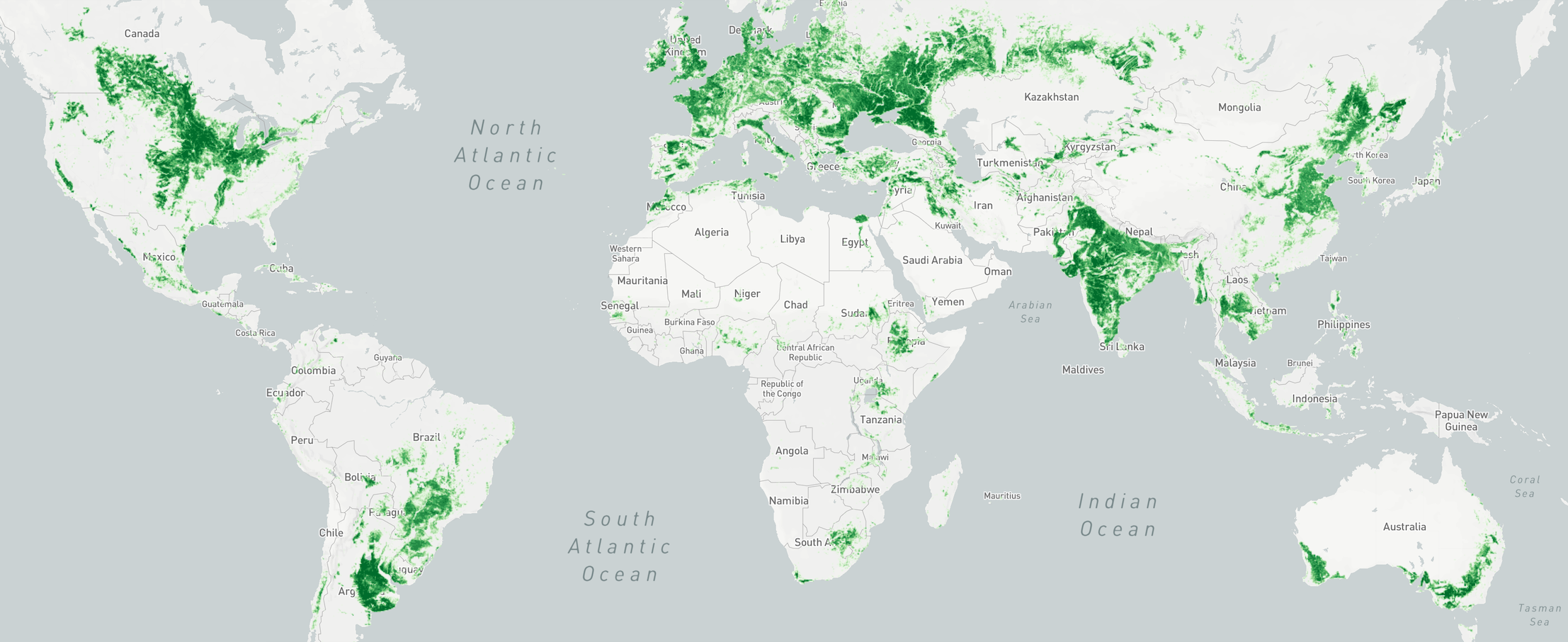
4 years data archive
(since 2017)North and South America, Europe,
the UK, India3 petabytes of
processed data
AI + satellite and weather data
Detailed datasets
The datasets we provide:
✔ Crop map (soy, corn, wheat, etc.) by year
✔ Recognised field boundaries by year
✔ Vegetation indices statistics for recognised fields by year
✔ Climate data for regions and particular field
✔ Soil temperature and moisture
AI + satellite and weather data
Analytical reports
We can customise our analytical reports for your needs. Reports include overviews of the conditions of the observed crops, distribution on the map of the type of crops and their condition, vegetation statistics, etc. Data can be stratified and aggregated by any criterion, for instance, by crops, by regions, by years.
Need a customised report?
Your questions, answered
-
We use Sentinel-2 as a source for satellite data and OpenWeatherMap service for climate data. Based on it and AI technology,
we recognised fields in all of popular agricultural regoins and got statistical data for each of them.
If you have any questions, please contact us and our data scientist and engineers will provide you with detailed description.
-
The price depends on various factors, such as the type of report, his regularity, how much customisation you need, etc.
So, please share with us your requirements and we will provide you with the best solution and price.
Tell us about your needs
We can customise our analytical reports and datasets for your requirements
Contact us


