Contact us
Sign in Sign up

Agro API

  • Sign in
  • Sign up
  • API
    • How to start
    • API Documentation
    • Price & Subscription
  • Dashboard
    • About Dashboard
    • How to start
    • Documentation
    • Price & Subscription
    • Login to Dashboard
  • CROP MAP
  • FAQ

Dashboard Documentation

  1. Home
  2. Dashboard
  3. Dashboard documentation

Please read detailed documentations to start using the Agricultural Dashboard:
  • How to start

  • How to work with polygons

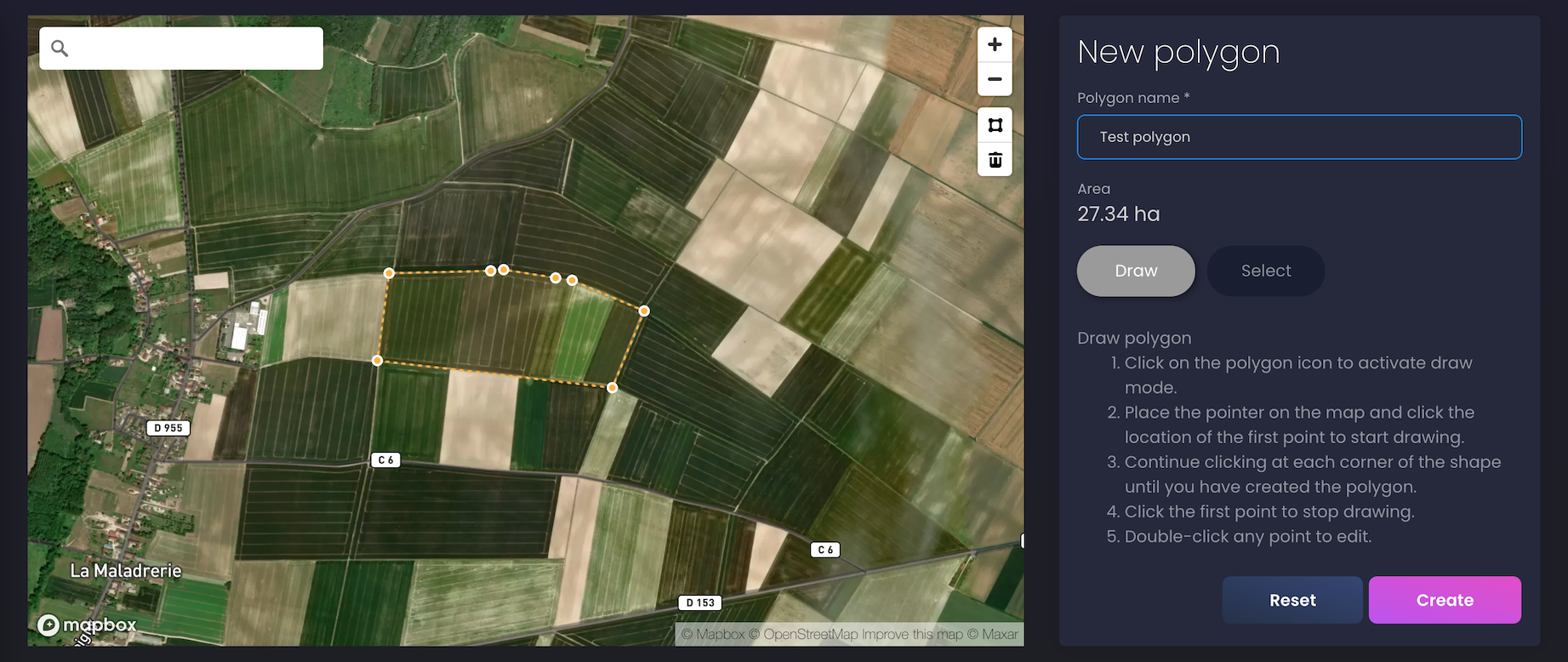
    • Create a new polygon

    • View a list of my polygons

    • Update a polygon’s name

    • Delete a polygon

  • Satellite data for your polygon

    • Satellite imagery

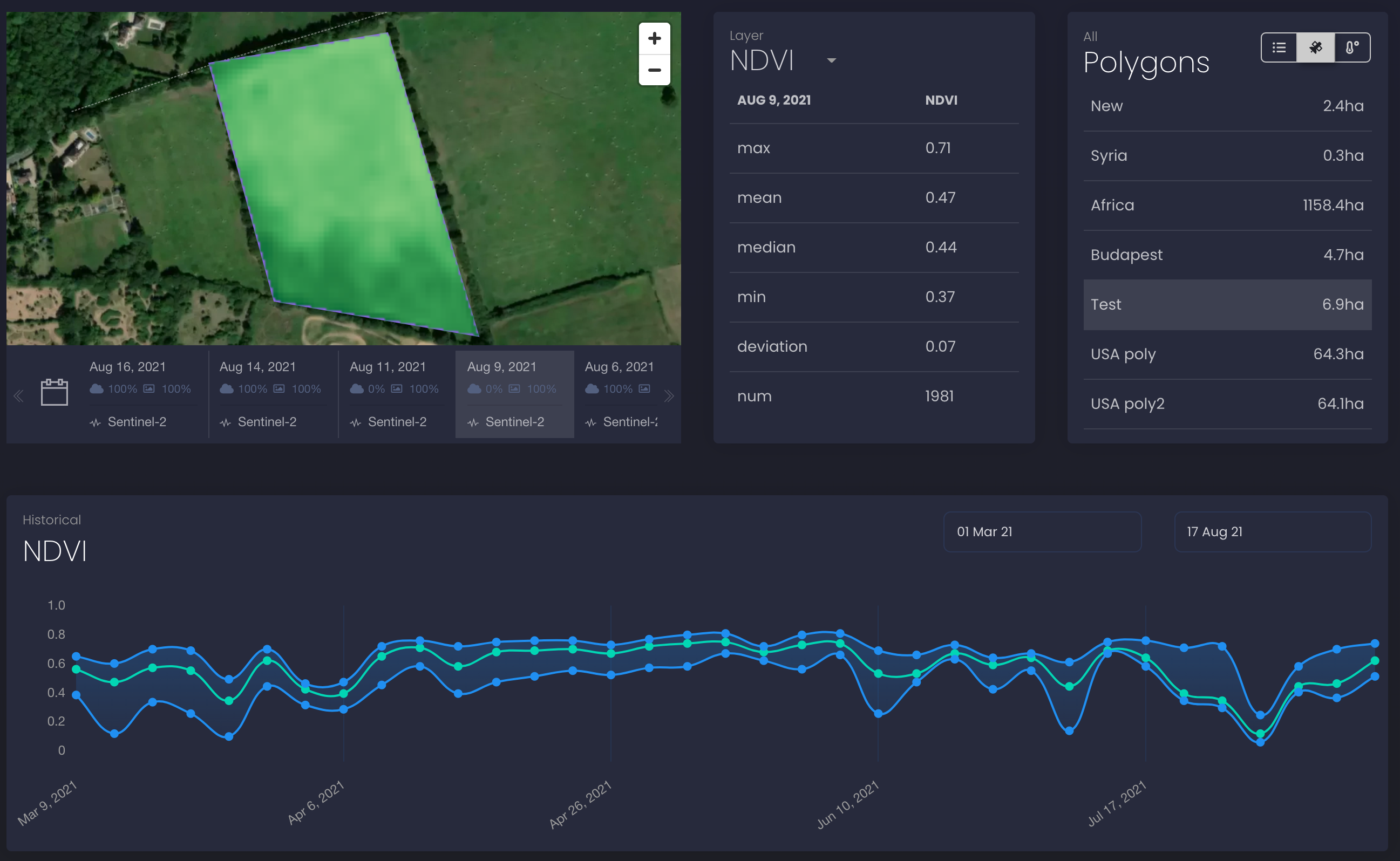
    • Satellite imagery layers and vegetation indices statistics

    • NDVI history chart

  • Weather data for your polygon

    • Current weather and soil data

    • Hourly forecast for 2 days

    • Daily forecast for 8 days

    • Historical weather data

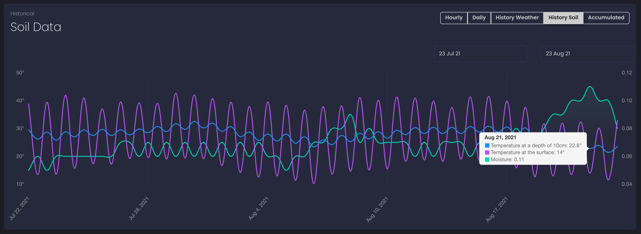
    • Historical soil data

    • Accumulated temperature and precipitation

  • Crop recognition map

    • How to work with the Crop Map


If you have any questions or comments, please contact us at info@openweathermap.org.


CONTACT US
Terms and conditions of sale | Privacy policy | Websites terms and conditions of use
© 2012 —2021 Extreme Electronics ® All rights reserved.